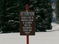
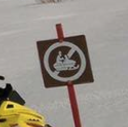
PROTECTING ACCESS TO PUBLIC LANDS
If you have encountered signs you believe to be on public lands, or cameras which might be monitoring Mineral Basin or Mary Ellen Gulch, please take a photograph, obtain a GPS coordinate and then email us at americanforkcanyon@gmail.com
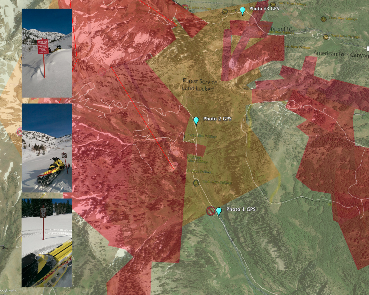
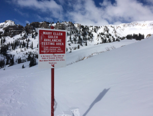
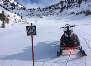
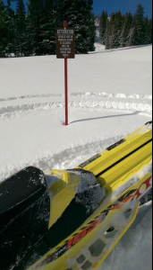
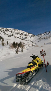
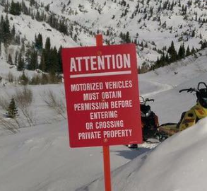
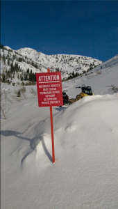
Our group received some photos taken by snowmobilers in AF Canyon where they felt they had to leave the area due to Snowbird signs. They went back and got some GPS coordinates which I have overlaid onto Google Earth Maps.
Pict #1 40 32 16.67 N 111 37 39.04 W
Pict #2 40 32 42.03 N 111 37 47.85 W
Pict #3 40 33 15.70 N 111 37 30.57 W